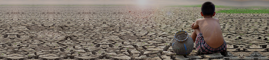
The Thirsty Dragon and Parched Tiger: Satellite Images Show China’s Dam Threatening Neighbors’ Fresh Water Supply January 26th, 2024
Via Newsweek, a report that a new Chinese dam may impact India’s and Nepal’s water supplies:
China appears to have completed the construction of a new dam in the country’s southwestern border regions, a project that could have far-reaching strategic implications for its southern neighbors India and Nepal, according to new satellite imagery.
Mapcha Tsangpo River, which translates from Tibetan as “peacock,” is known as the Ghaghara in India and the Karnali in Nepal. It is a significant and perennial source of freshwater water supply to the populations in western Nepal and in the India’s northern plains.
Beijing and New Delhi have sparred over China‘s dam building in the Himalayas before, including since the start of construction at the Yarlung Tsangpo river three years ago. The mega-dam project involves the world’s highest major river, which begins in China’s southwestern Tibet Autonomous Region and flows into India as the Brahmaputra.
Newsweek’s analysis of imagery from Sinergise’s Sentinel Hub website, which renders photographs captured by the Sentinel-2 satellite of the European Union‘s Copernicus earth observation program, found construction at Mapcha Tsangpo began in July 2021.
The dam north of the town of Burang, in Tibet’s Ngari prefecture, is now complete and visible in images taken this month from Earth orbit.
China’s new dam near the town of Burang town in its southwestern Tibet Autonomous Region is complete, according to satellite imagery seen on January 18, 2024. China’s dam construction in the Himalayas could control the flow of fresh water to its neighbors, Nepal and India.
This entry was posted on
Friday, January 26th, 2024 at
9:35 am and is filed under
China, India, Nepal. You can follow any responses to this entry through the
RSS 2.0 feed.
Both comments and pings are currently closed.