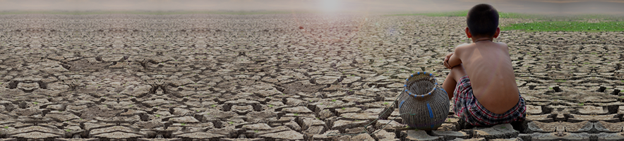
The dwindling flow of the Colorado River has alarmed the American West for years, but the water losses happening underground are even worse, according to a new study that uses satellite data to measure groundwater supplies across the Colorado River Basin.
“The picture of what’s happening is pretty dire,” said Jay Famiglietti, a professor at Arizona State University and the senior author on the study, published Tuesday in the journal Geophysical Research Letters.
Famiglietti and colleagues based their findings on NASA satellite data that can measure Earth’s gravity field to estimate the mass of water underground and how that changes over time. They used data from other sensors to isolate groundwater from estimates of snowpack, surface water and moisture in the soil.
The researchers say a major reason for the declines is overpumping for agriculture. The majority of the groundwater declines that the study identified were in the Lower Colorado River Basin — Arizona, California and Nevada.
Famiglietti said their research was not able to pinpoint the sources of groundwater depletions but noted that places that have shown the greatest losses, such as in Arizona, overlap areas with industrial alfalfa operations. Water losses over the past decade, he added, are three times greater than in the prior decade and were driven primarily by depletions in southeast and western Arizona. In many parts of the region, groundwater pumping remains unregulated, he said.
“We need to recognize where all this is happening and work with the state to put the brakes on,” he said. “We used to say the Colorado River is the lifeblood of the western United States, but now it’s becoming groundwater is the lifeblood.”
The study noted that groundwater simulations for the Phoenix area “indicate complete depletion by the end of the century.”
The Arizona Department of Water Resources said in a statement that while the study “correctly observes” the general challenges of the Colorado River and the region’s groundwater, it disputed the characterization of the Phoenix area by the end of the century.
“Our modeling did identify challenges ahead. But in no respect did the simulations indicate concerns about ‘complete depletion’ of groundwater, much less by the end of the century,” the statement said.
In 2023 the department assessed the Phoenix area’s groundwater supplies and found that about 4.9 million acre-feet of water, or 4 percent of the demand for groundwater, would not be met over the next 100 years without further action.
A hydrologist with the department, Emily Lodolce, said that about 30 percent of the available water supply is expected to be consumed by the demand over the next century, but since the supply is not evenly distributed across Phoenix, some areas are projected to not have enough. An update to that assessment last year reduced the amount of projected unmet demand to 3.6 million acre-feet, she said.
An acre-foot is about 326,000 gallons, what it would take to cover an acre of land with a foot of water.
Famiglietti noted that it is almost impossible to know how much groundwater is ultimately available for humans — and the cost required to access it by drilling ever deeper wells also varies dramatically by area.
“What we do know is that water tables are falling, that the ground is subsiding,” he said. “We know bad things are happening.”
The Colorado River runs through seven Western states and is a source of drinking water and electricity for tens of millions of people. The river supplies irrigation water to major farming regions in the West and is a major source of drinking water for cities in the arid southwest such as Phoenix and Los Angeles.
Warming temperatures driven by humans burning fossil fuels have also contributed to the prolonged droughts that have hit the region over the past two decades. Studies have shown the years 2000 through 2022 were the driest such period in more than a century and one of the driest stretches in the past 1,200 years.
On average, the river’s natural flow in the 21st century is 13 percent lower than for the middle of the 20th century, said Jack Schmidt, director of the Center for Colorado River Studies at Utah State University.
The declining flow of the Colorado River over that period has reached crisis levels as major reservoirs declined to dangerous levels and prompted the basin states to reach temporary agreements to cut water usage. The current agreements expire at the end of 2026. Those states are now negotiating new rules that would govern water sharing, but they have been at loggerheads for months. Meanwhile, the Bureau of Reclamation, which oversees reservoirs along the river, has lost staff from buyouts and layoffs and the Trump administration has yet to name a new commissioner.
The major reservoirs at Lake Mead and Lake Powell had been approaching crisis levels in 2022, but the next two wet winters eased fears in the region. But this winter has been relatively dry and in some parts of the basin snowpack has been around record lows. Lake Powell and Lake Mead are currently about one-third full.
“The more surface water we lose from Colorado River, the more pressure there’s going to be on the groundwater,” Famiglietti said. “And then it becomes a ticking time bomb.”